

Apps for the Alps: Our Favorites for Trail Running and Traveling
Lead image: Nick Cusseneers
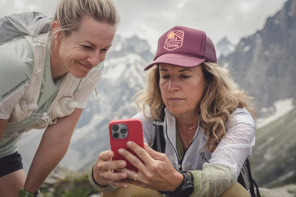
There’s great cell coverage through most of the Alps. That’s good news for those of you who like to geek out with apps, and prefer to stay connected when you’re in the mountains.
And for those of you seeking to disconnect? Here’s our advice: Airplane Mode, and tell whoever was trying to reach you that you were out of range!
One benefit of the cell coverage in the Alps, however, is that you can use a wide range of apps for everything from changing your route on the fly to identifying distant peaks or even seeing how much time you have to race down a valley to catch the next train.
This rundown is not meant to be exhaustive—these are just the apps that Run the Alps staff and guides use and like. Some of these apps may require an annual subscription, based on what you’d like to accomplish. Got an app you like that we’re missing? Let us know!
An important aside: Remember that few among us like to hear cell phones ring when we are taking in the solitude of the mountains. You can help out by keeping your notifications and ringer off. If you must make a call, please be respectful of other users by stepping well out of earshot.
Here are some apps we find most useful in the Alps!

ALPS-SPECIFIC MAPS
There’s no shortage of reliable, international map apps these days. In the Alps, however, the most detailed apps are those that are produced for each country. Some of our favorite mapping apps even work in airplane mode for on-trail navigation. Here’s a quick rundown!
Swiss Topo and Switzerland Mobility
When it comes to mapping, nobody beats the Swiss. These two apps use the same Swiss government base layers. Both have mapping tools for planning and navigating. Switzerland Mobility requires using a desktop interface, Swiss Topo can create routes directly on a phone. Switzerland Mobility, with layers for everything from Nordic skiing to mountain biking and hiking, is more versatile if you plan on taking part in a number of activities. For both apps, it’s possible to create and download a route for offline viewing. Switzerland Mobility requires an annual subscription for that service– but we find the interface friendlier, overall.
Iphigenie and IGN Rando
Iphigenie and IGN Rando are both apps from France’s governmental cartographic service, IGN. They show trails throughout France, with multiple other layers optional. In general, most users seem to prefer Iphigenie, which has greater functionality and more detailed layering options. On the downside, Iphigenie is so loaded with tools it can confuse your experience if you just want to know, “Am I on the trail?”
TABACCOmapp
TABACCOmapp is the best app for Italian trails, though the experience can be a bit clunky– for a lot of users, the app quits from time to time. You’ll need to sign up for an account, and then purchase small quadrant maps, often several at a time for a multi-day run.
Trace de Trail
With the French app Trace de Trail, you can visualize a route uploaded from a GPX file, see the profile, and share routes. Trace de Trail is popular for viewing trail race courses.
GENERAL MAPPING & TRAIL RUNNING APPS
Strava
Strava is, of course, the go-to app that nearly every trail runner we know has installed on his or her phone. Easy route creation, heatmaps showing popular trail running routes, and easy uploading and sharing of GPX files make it an obvious choice. A growing number of new community tools are also in the works.
AllTrails
AllTrails provides a database of trails from around the world and allows users to search for trails based on a set of criteria including length, difficulty, or location. The app also includes interactive maps, allowing you to see your location in real time, and avoid getting lost. Users can also record their own routes, save them for future use and share them with others on the platform. The app provides offline access, which means it works quite well with limited or no internet access. Similar to Strava, AllTrails has a community focus. And users can follow friends and interact with other members. For paying members, AllTrails provides a Pro Subscription, which allows for increased customization and printing.
Outdoor Active
Outdoor Active is a generic mapping platform – with a Pro subscription you have access to country-specific high quality base maps, and open street maps too if needed. It’s possible to download map sections, create routes, import GPX tracks, and send tracks to your watch. It also has a peak locator similar to the app Peak Finder.
Maps.me
We use Maps.me internally for our work with Run the Alps, and like it. It’s handy for finding public transportation options and offline mapping. You can even download maps of entire countries and navigate without an internet connection.

WEATHER
The weather in the Alps can change quickly and greatly impact your day in the mountains. While a generic weather forecast app can give a general idea of the temperatures for the day, you can get a much more detailed reading from a specialized weather app. There are a number of great ones out there that are free and that we count on to plan our routes and what gear we’ll need.
Meteo Swiss
Meteo Swiss is the gold standard of weather apps. While focused on Switzerland, its mapping capabilities cross into Chamonix, and other areas of France close to the Swiss border. Its rain and cloud radar is particularly helpful for planning when to get to a refuge for coffee or to grab a bite to eat for lunch! If you time it right, you can even watch the radar’s rain icon approach your location– and then blow over while enjoying your cappuccino. This app is user friendly, and its rain radar feature is remarkably accurate, allowing you to easily find your weather window.
Météo Bleu
Météo Bleu is helpful for big-picture weather planning. We use it to get an overall sense of the weather 1-3 days ahead. This is a French app and our go-to when in France. The app has a variety of satellite maps and even camera footage of live weather conditions.
Mountain-Forecasts
Mountain-Forecasts will show you weather forecasts at specific mountain elevations. This is useful for wind speed over a pass or on a peak, and will contrast it with valley speeds. It is another of our favorite go-to apps, useful on many days. The forecast can often change dramatically from the valley floor to summits. Note: when you install the app, it will give you 10 days of free Pro-level access, driving you to subscribe to their top-tier access.
YR
Developed by the Norwegian government, YR is used around the world. It’s a great tool for a quick check of upcoming weather conditions. And, if you are headed off on a trip, you can quickly save locations, allowing you to easily check the forecast in multiple locations.
Meteo France
The Meteo France app gives you current conditions, hourly conditions, and a forecast for up to 15 days out. Users can contribute by reporting their conditions in real time which are shared on a public platform and access detailed mountain conditions, including daily snowline conditions and avalanche risk.

RESCUE & FIRST AID
Even if you are going out for a quick trail run, we recommend downloading a rescue app. In an emergency situation it might be a lifesaver, and it will give you peace of mind while out on the trails.
EchoSOS
EchoSOS is a smart way of sending your location to emergency services. This Swiss app works worldwide! The free app is straightforward: in case of emergency, the user can alert emergency services which can find the user’s exact location through the app. There are also options to connect to local ambulance, police, and fire departments.
Rega
This app is designed for Swiss air rescue. The Rega app offers an emergency call function, GPS location sharing, and real-time helicopter tracking.
Trail Triage
Designed by our friends at the US trail running podcast Trail Runner Nation and Tahoe Wilderness Medicine, the Trail Triage app, just in its first iteration, covers first aid issues commonly experienced by trail runners, including breathing issues, bleeding, overheating, chafing, blisters and more.

TRAVEL APPS FOR THE ALPS
There is no shortage of public transportation in and around the Alps and Europe generally. Here are a few apps that we love using to help us get around with ease.
Chamonix Mobility
This app helps visitors find local transportation information, such as schedules, routes, and pricing, for the Chamonix valley region. Chamonix Mobility also provides current traffic conditions and information on delays and any public transportation cancellations, all of which can help with trip planning.
TMB Mobility
The Mont Blanc Tunnel between Chamonix, France and Courmayeur, Italy can experience lengthy traffic jams. On holidays, the wait can stretch to several hours or more. The TMB Mobility app shows whether there are any current delays, along with upcoming scheduled closures for maintenance work. The app can also be used to see predicted travel delays for future travel.
SBB Mobile
This Swiss Federal Railways app helps you navigate Switzerland’s rail and bus system. SBB Mobile provides route planning, timetables and real-time status updates. You can purchase tickets using the app, get information on services at train stations, and the “Easy Ride” function allows you to simply ride a variety of trains and buses, and the app will automatically calculate and charge you the lowest possible ticket fee. The app also integrates with other forms of transport, including trams, and boats. You can also plan routes that including neighboring countries, though you cannot purchase international train tickets via the app.
SNCF Connect
SNCF Connect is a handy tool when planning trips around France. SNCF Connect provides schedules and routes, traffic information and delays. It integrates France’s train networks, including the high-speed TGV system, along with buses and ridesharing, called covoiturage in France. The app can help you plan a trip and offers packages, including routes through other countries.
ArrivaMyPay
The Arriva MyPay app allows users to buy bus tickets around Italy, as well as to or from neighboring countries. You can also manage bus passes within the app. The app requires you to register for an account.
Bolt
Similar to Lyft or Uber, Bolt is a ride-hailing service. Users can select the type of vehicle they want and watch the driver’s location in real time. Payments are accepted by card or in cash. This is a good option if you have a large group or need a private service.
BlaBlaCar
BlaBlaCar is widely used around Europe and is a cost efficient way to carpool. BlaBlaCar is especially useful if you cannot find a public transportation option. You can even find long distance trips that are easier by car than multiple public transportation connections. Plus, it’s a great way to meet locals and try out your language skills!
Flixbus
Flixbus offers bus transportation around Europe. It has short duration trips as well as international travel options. Flixbus is a cost effective way to travel and offers a range of timetables and schedules. You can purchase Flixbus tickets online, and the app makes it easy to make purchases and organize your itinerary.
Omio
Omio is an all-inclusive travel app. You can find transportation in Europe, Canada and even in the U.S. including bus, train, and flights. The app also links with Booking.com to help you find lodging as you travel.

OTHER APPS OF INTEREST
Peakfinder
This is a wonderfully simple and useful app– just point your phone’s camera at the horizon, and Peakfinder will identify the peaks you’re admiring. It has an offline mode, and can ID peaks in a 360° panorama.
Summit Bag
Not an app, Summit Bag is a fun add-on to Strava. The web site connects with your Strava account and syncs with your activities, creating a list of all the peaks and cols on your Strava posts. Summit Bag was created by Chamonix resident Phil Bellamy, a Senior Engineer at Strava, as a side project. The app also saves a running record of total vertical gain by ski and foot.
Airalo and Holafly
Airalo and Holafly are apps that provide cell phone data around the world through the use of eSIM cards. This makes it possible to purchase cell phone data without the use of a physical SIM card. These plans are often more cost effective than using your phone in roaming mode while traveling overseas.

A tip for country specific Apps
Here’s how you get an app that’s not available in your country’s app store:
Android
- You will either see three lines where you can find the settings, or find the settings under your profile.
- Look for the “Account and device preferences” button. Here, you will find information about your account, country, and history. You should be able to change your regional settings here.
Apple
- Open the Settings app. Tap your name, then tap “Media & Purchases.” Tap “View Account…” Select “Country/Region” and pick your new country or region. Tap “Change Country or Region.”
- Tap your new country or region, then review the terms and conditions.
